Skip to content

Building the standard we couldn’t find anywhere else.

RedView ends the frustration of preparations scattered across disconnected, imprecise tools. We merged our visions into a single environment, built for athletes who want to plan their outdoor adventures down to the last detail.

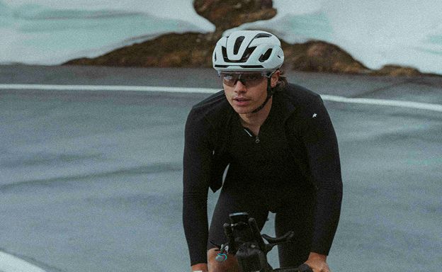
Victor Bouscavet riding a mountain road

Victor Bouscavet

Victor is an ultra-endurance cyclist driven by a constant need to create and explore. A designer by training, he approaches every project with uncompromising standards and absolute attention to detail. To win his races, he had to build his own tools and logistics strategies to optimize every parameter of his preparation. After years of racing and more than 20,000 kilometers of bikepacking, RedView is the culmination of that approach: a way to finally share with the community the expertise and precision he has built up in the field.
Instagram
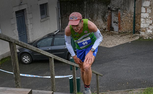
Simon Farina racing, bib 95, running up a flight of steps

Simon Farina

Simon is here to shake up the standards. At just 17, he is the technical architect and developer behind RedView. It all started with a frustrating realization: invaluable raw geographic data was available, but no tool could make good use of it and help avoid navigation mistakes in the mountains. Refusing the usual trade-off between accessibility and precision, he built an engine that processes topographic data down to half a meter, right in a standard web browser.

Instagram

FAQ

Frequently asked questions

Can’t find your question? Write to us, we answer every message.

Write to us

What is RedView?

RedView is a French web app for planning routes in 3D for cycling (ultra-distance, bikepacking, gravel, MTB, road), trail running and hiking. It brings together custom routing, a high-resolution 3D map, slope and weather alerts, POIs along the route and finish-time estimates.

How much does RedView cost?

One subscription with every feature: €14.90 for 1 month, €70 for 6 months or €119 for 1 year, VAT included. The first 7 days are free on your first subscription.

Which devices does RedView run on?

RedView is a web app: it opens in a recent browser on a computer, with nothing to install. A mobile version is in development.

Which sports is it for?

Ultra-distance cycling and bikepacking, gravel, mountain biking, road cycling, trail running, running, hiking and mountaineering. Routing offers Road, Gravel, MTB, Running and Trail profiles.

Which regions are covered?

Route planning covers Europe. The 20 cm orthophotos and LiDAR HD terrain cover France; LiDAR point clouds cover France, Switzerland, Flanders, the Netherlands, Japan and New Zealand. Weather covers France and its neighbors, up to 4 days ahead; POIs cover France and its border regions.

Can I send a route to a Garmin device?

Yes: RedView exports GPX, KML and FIT. The FIT file is a Garmin course timed to your planned passing times, with the POIs you choose (water, food, favorites) under short names that fit on the device. GPX opens on most GPS units and apps.

Can I import an existing route?

Yes, any GPX file exported from Strava, Komoot, Garmin Connect or another tool: RedView analyzes it, bridges any gaps along the routable network and lets you edit it.

Can several people plan a route together?

Yes: share a project by email, then edit it together in real time, with everyone’s cursors and comments on the map.

Is RedView an alternative to FATMAP?

For planning in 3D, yes: since FATMAP shut down in 2024, RedView offers a high-resolution 3D map (orthophotos down to 20 cm and LiDAR HD in France), slope and sunlight layers and route drawing right on the terrain.

Who makes RedView?

RedView is designed and built in France by Victor Bouscavet, an ultra-endurance cyclist and designer, and Simon Farina, technical architect and developer. For any question, write to redview.app@proton.me.

7-day free trial, on a computer.

Try RedView