



1 month
€14.90
No commitment
7-day free trial included
ChooseThe RedView documentation is being finalized. It’s coming very soon.
© Mapbox · © OpenStreetMap contributors · © Maxar
Two platforms, two approaches.
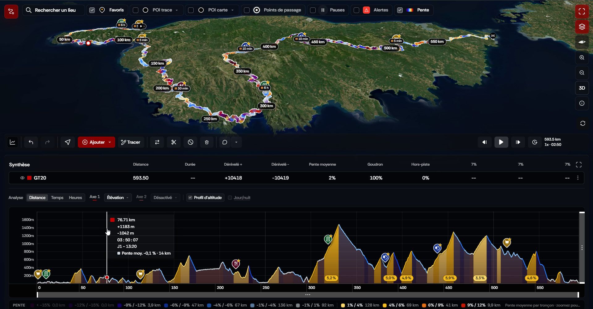
La Marmotte, planned end to end in RedView: 183.6 km and 5,599 m of climbing.
Route
Variants
Summary
Slopes & weather
Steep section
Long, steep climb
1.2 km at 9% on average, up to 14%
Start carefully and keep a spare gear.
Weather as you pass
POIs
Pace
Pace profile
Reference activities
© Mapbox · © OpenStreetMap contributors · © Maxar

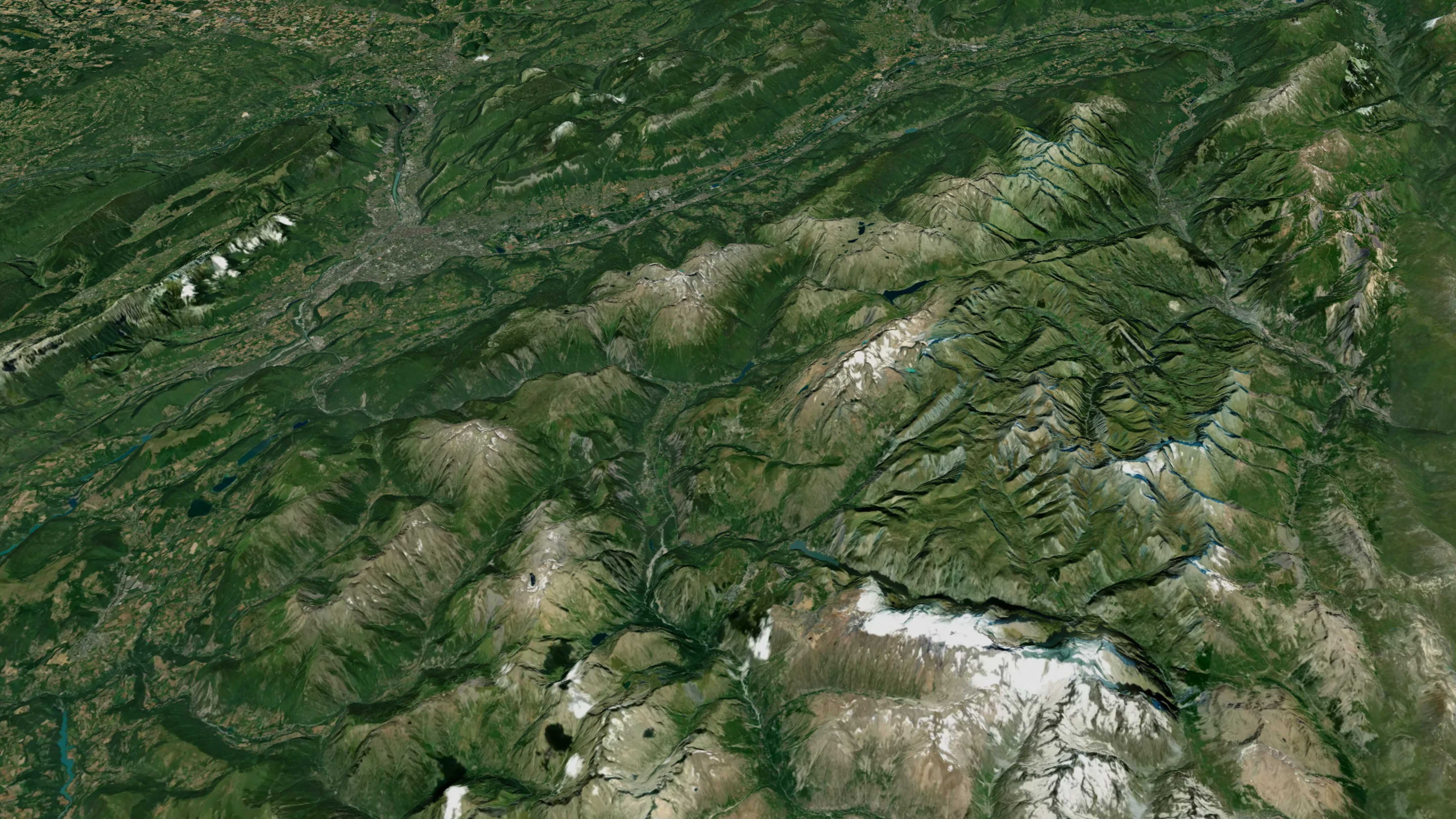
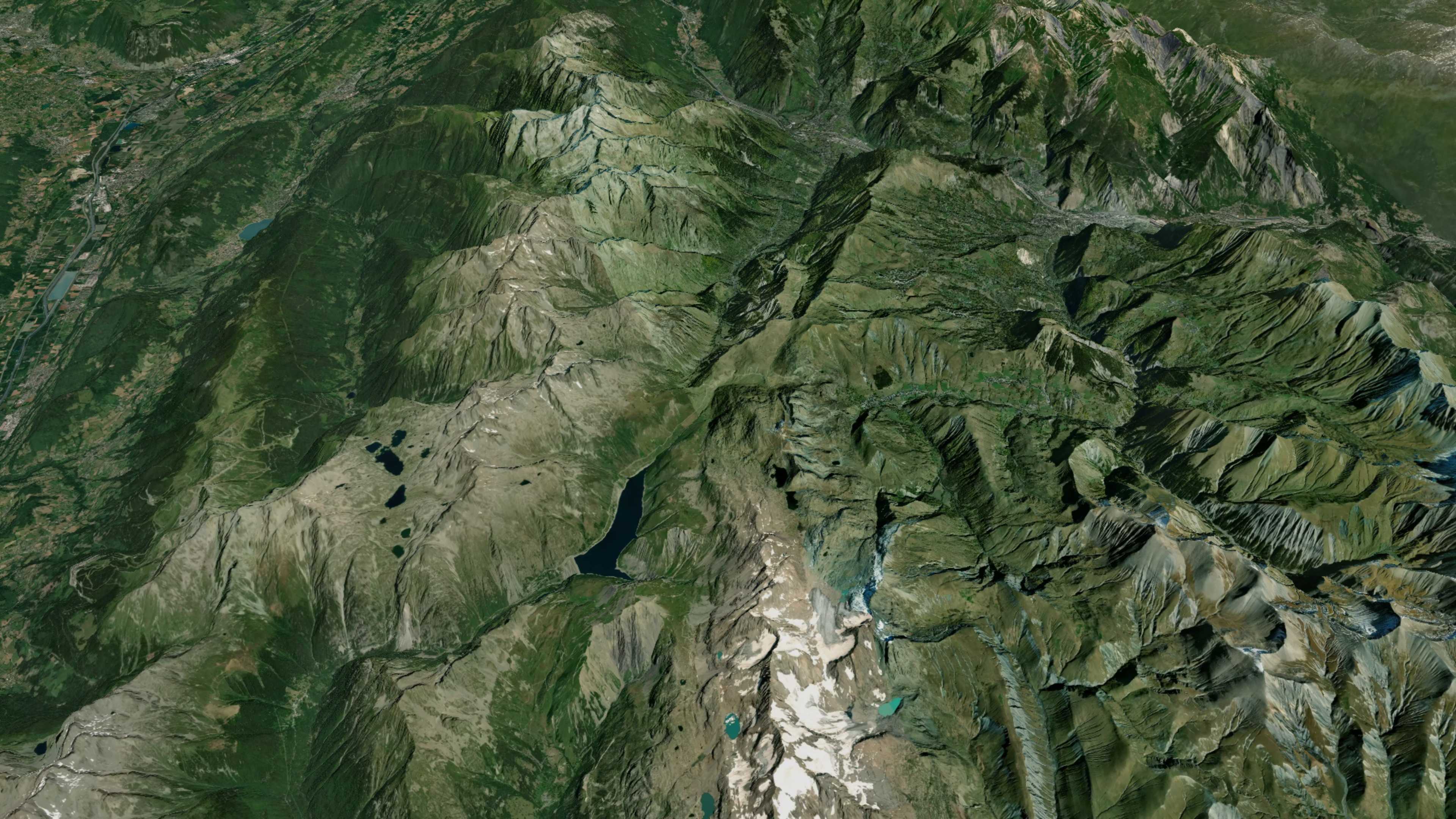
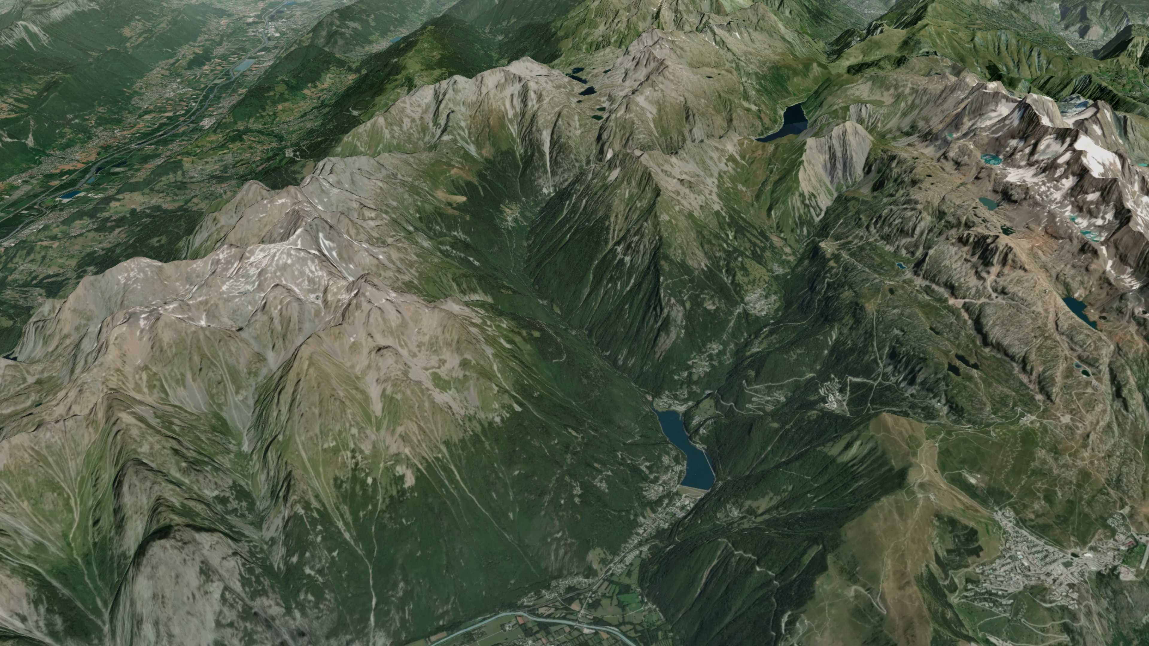
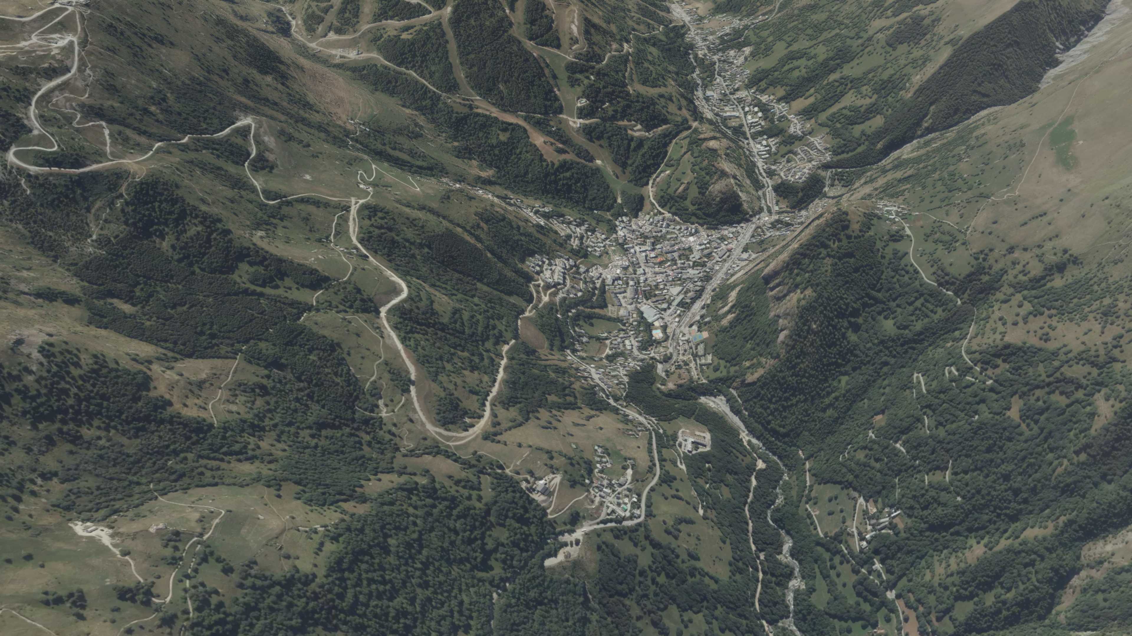
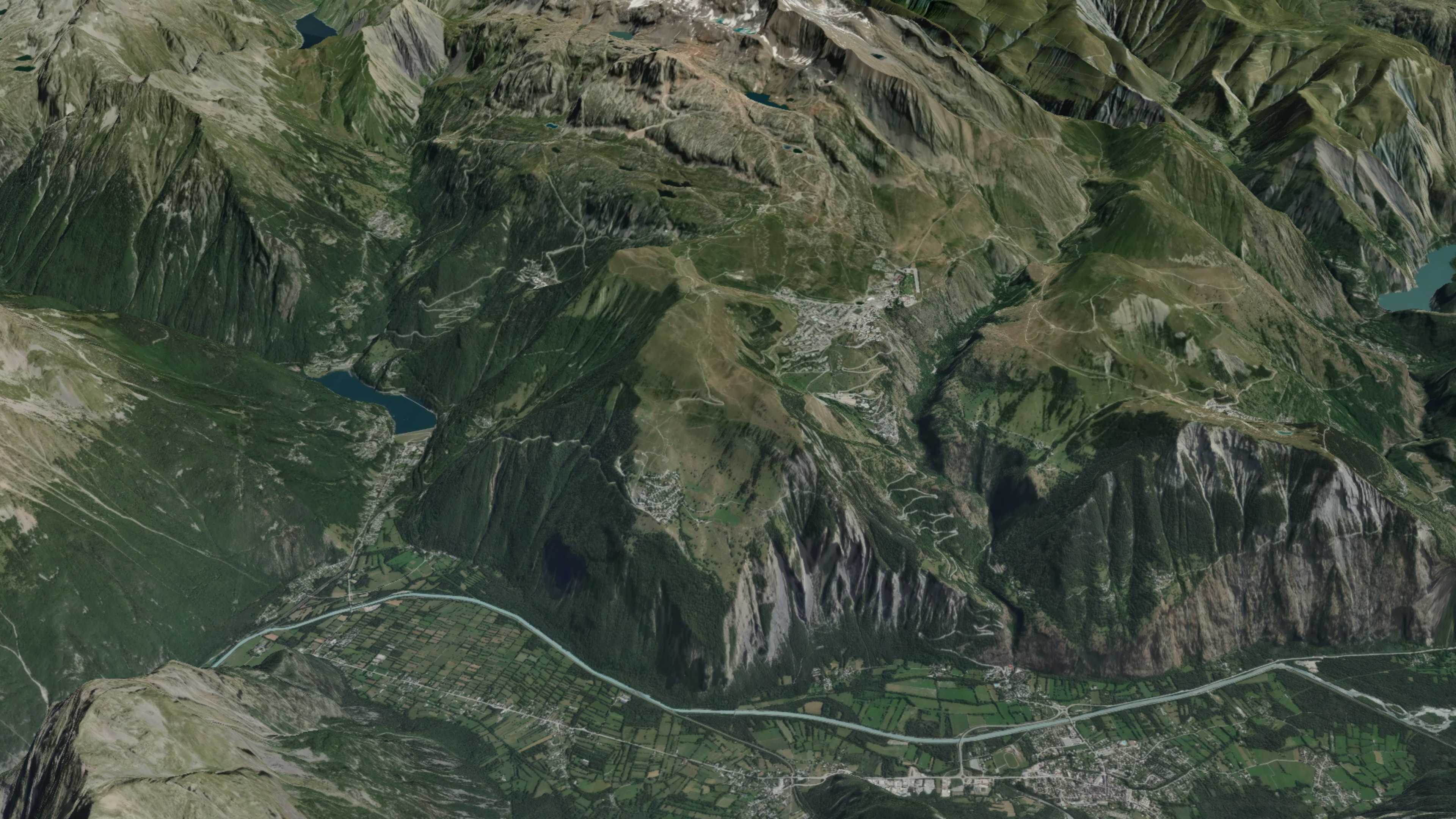
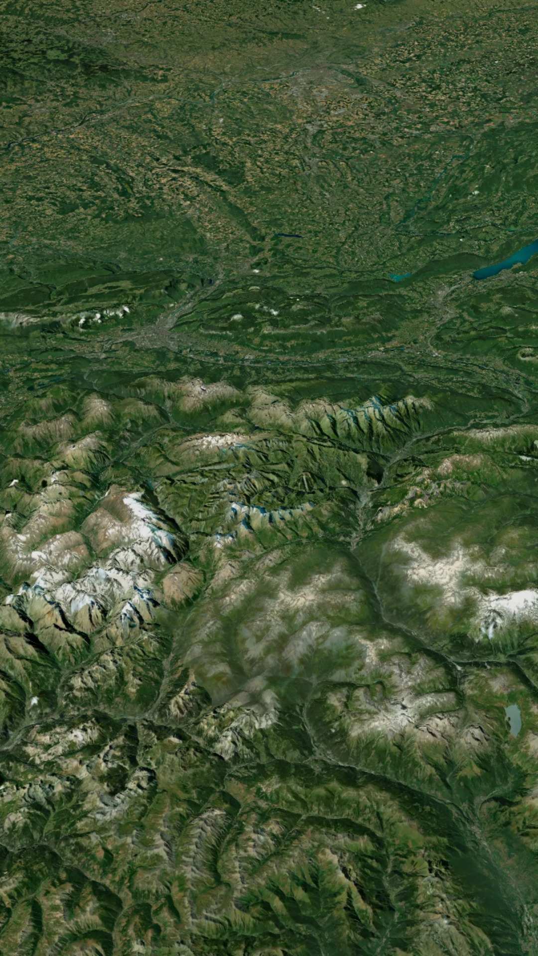
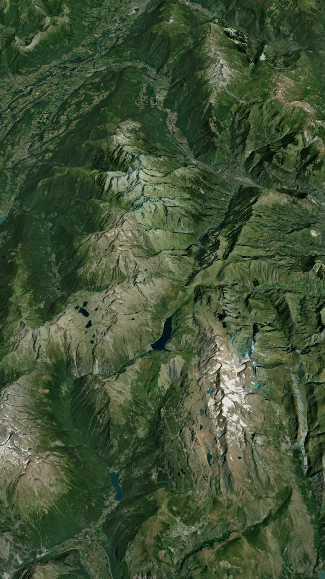
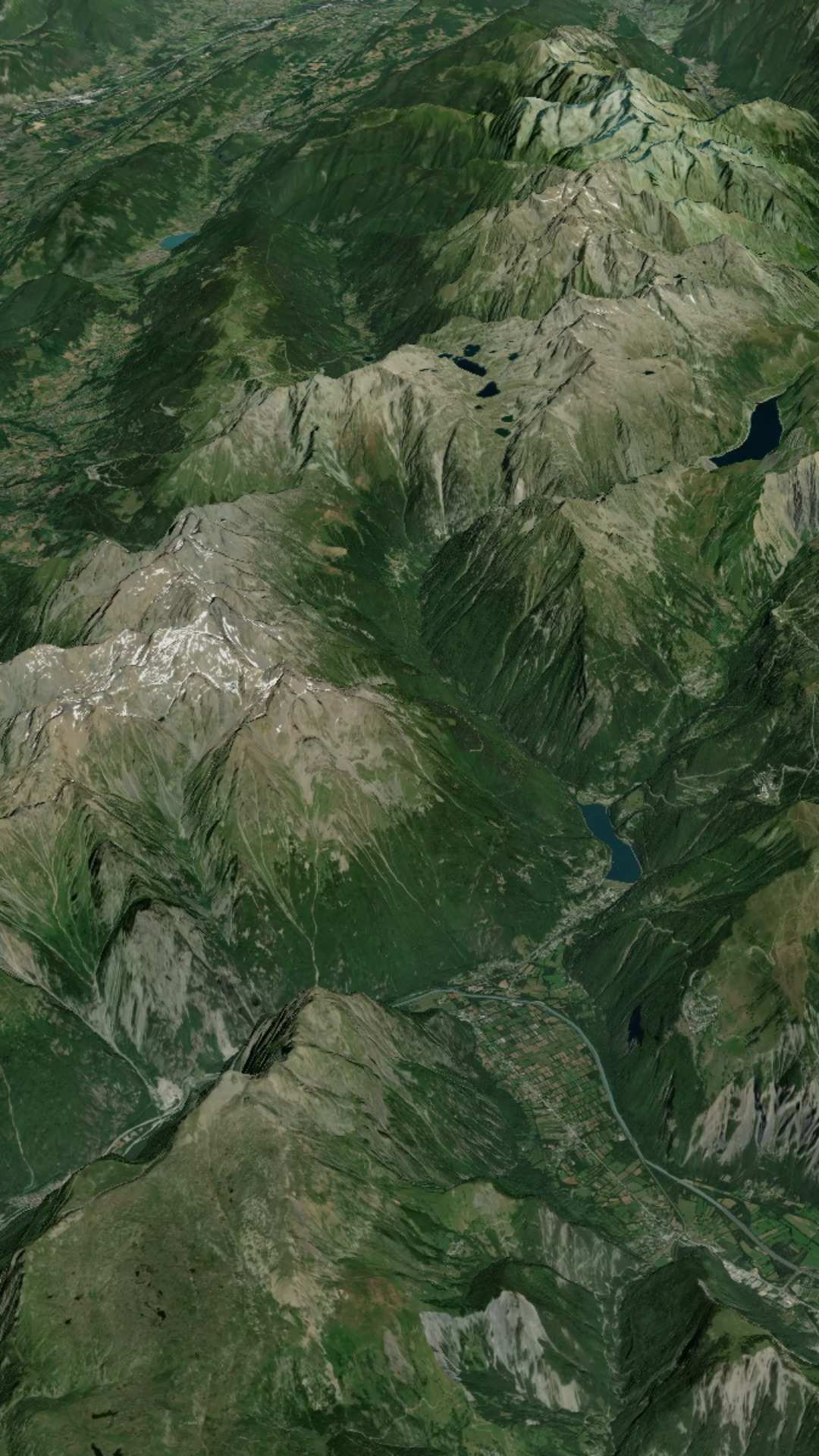
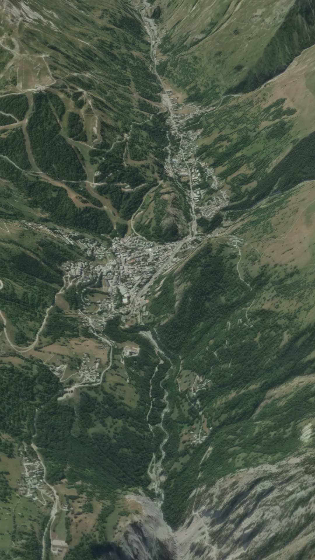
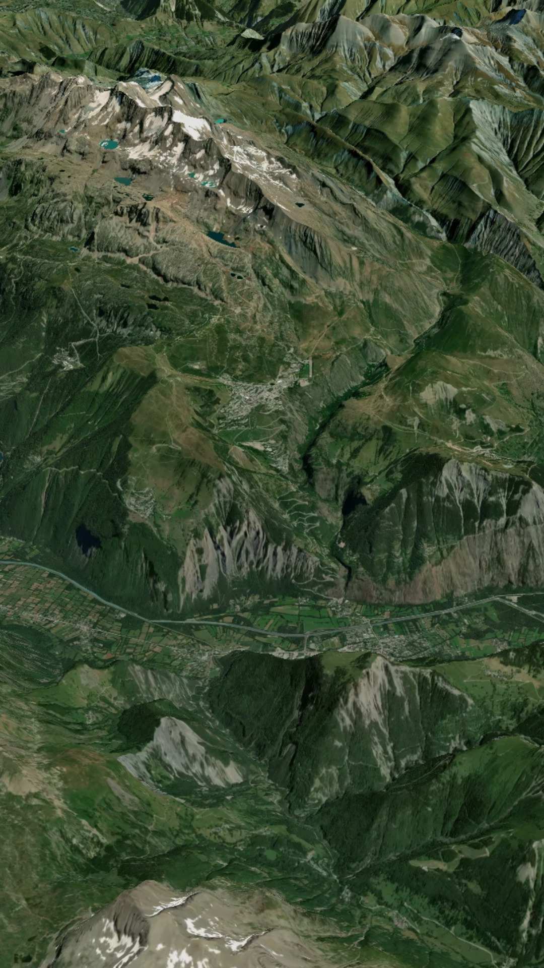
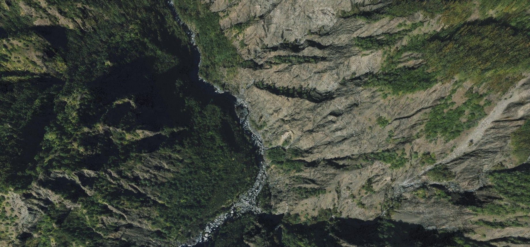
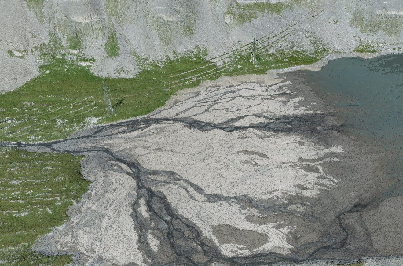
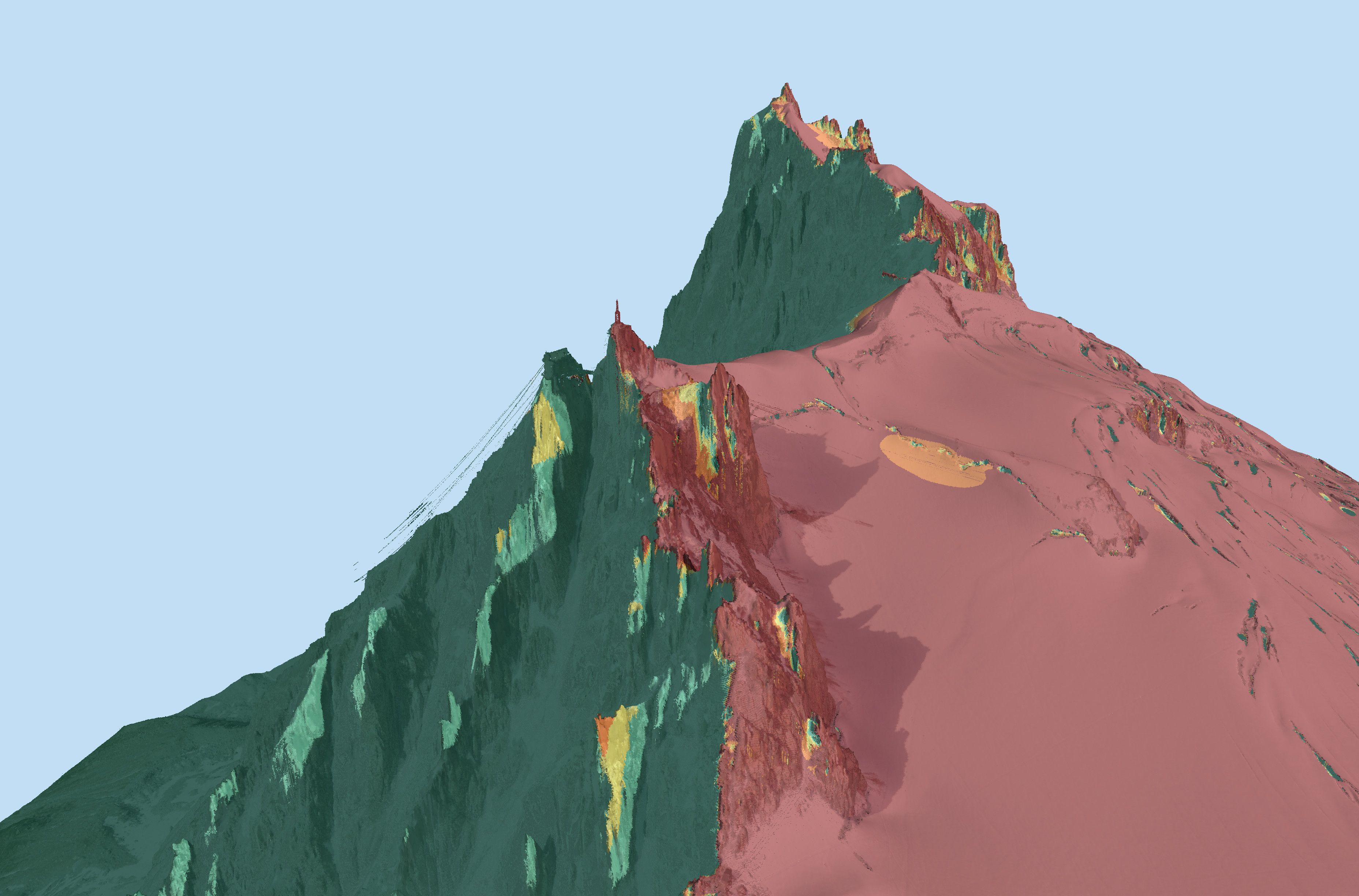
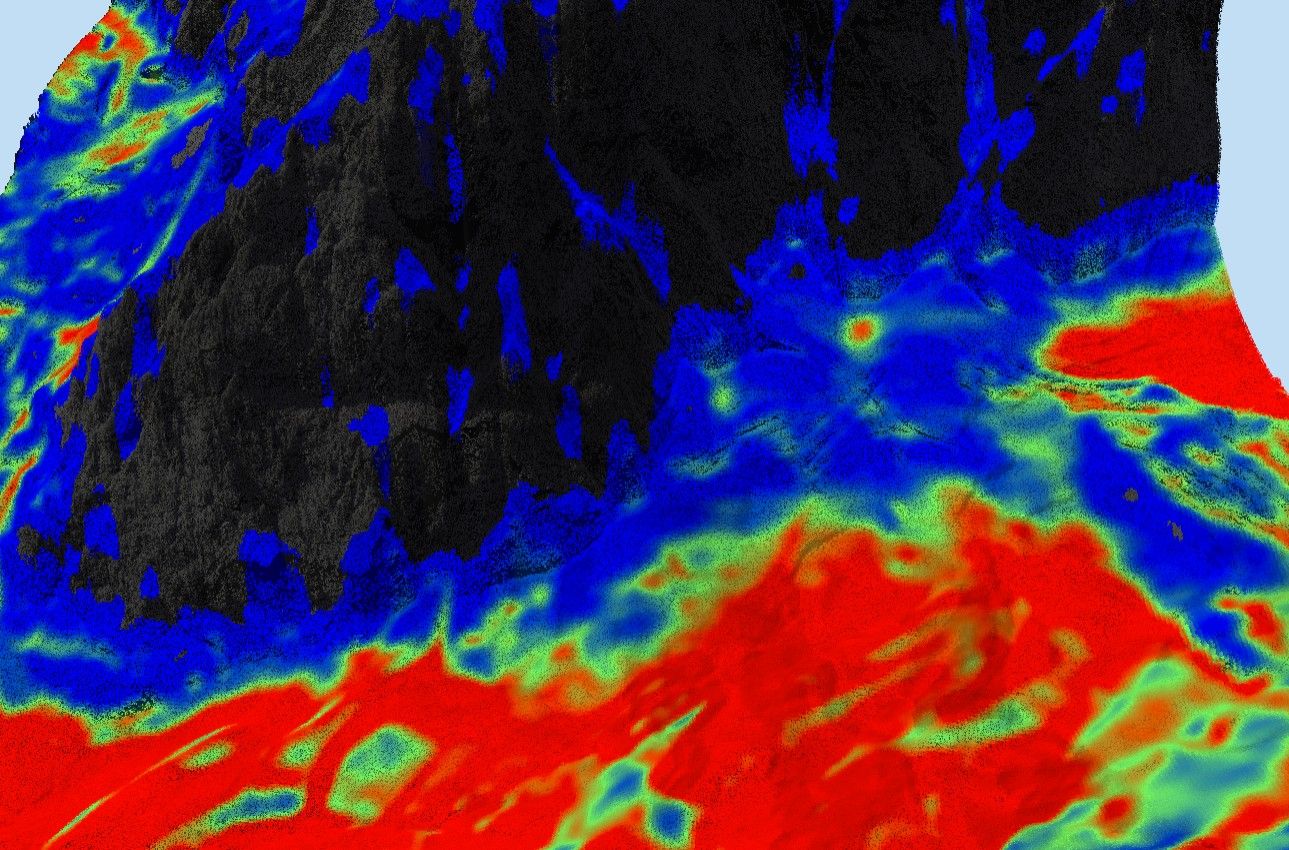
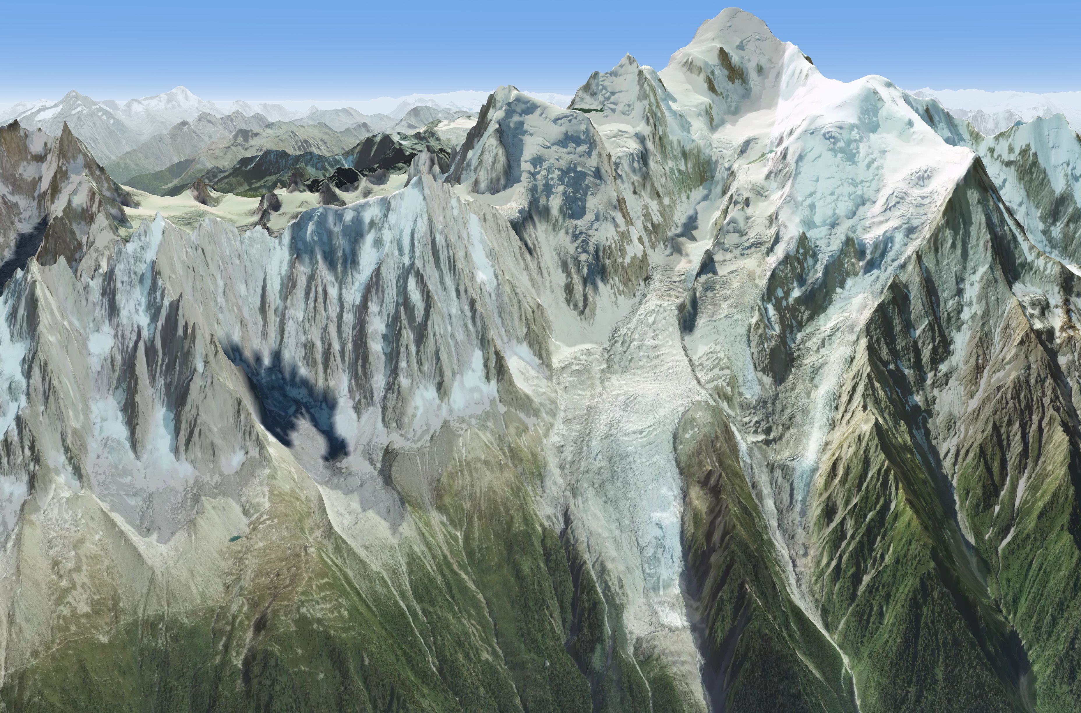
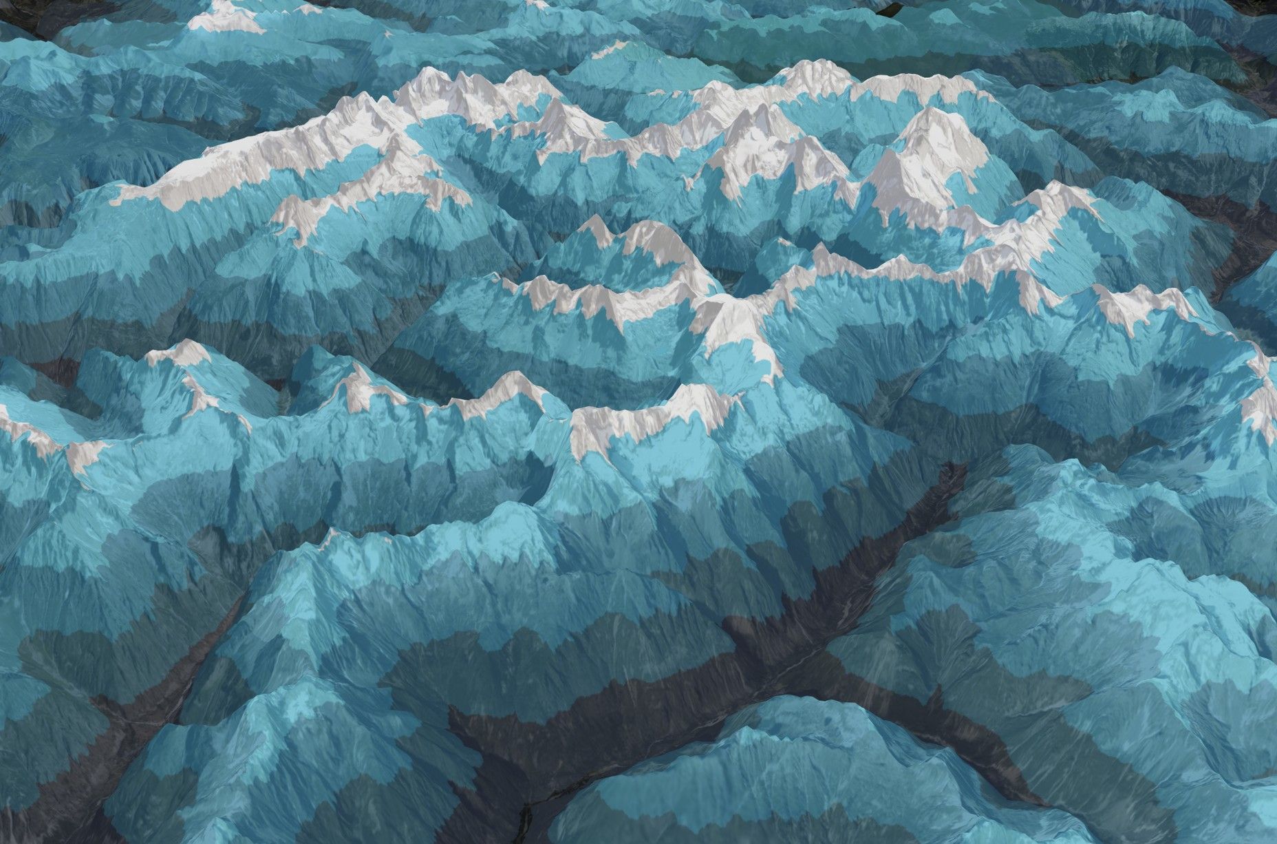
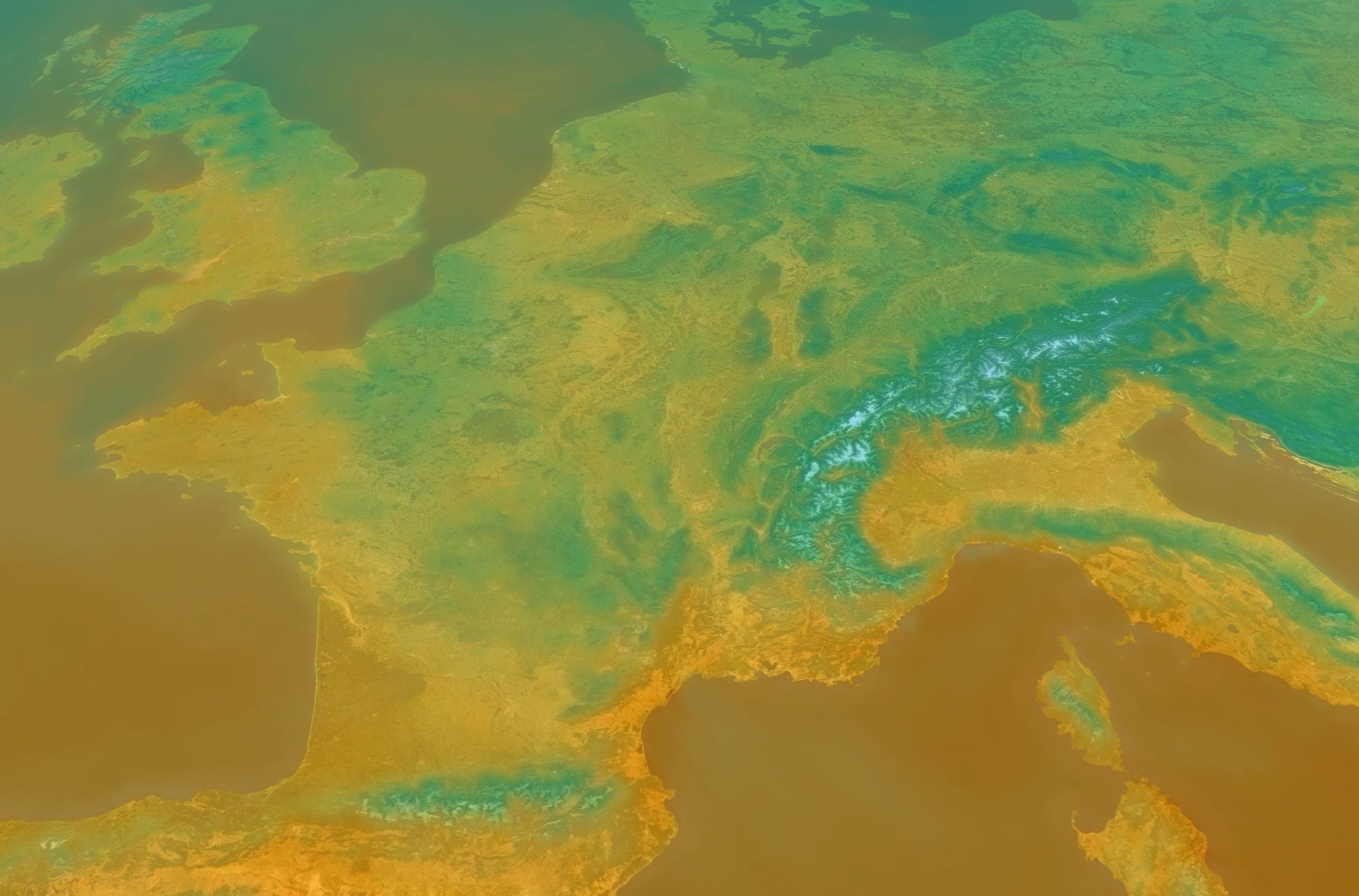
IGN orthophotos down to 20 cm and LiDAR HD terrain down to 50 cm, in France. Elsewhere, worldwide terrain at about 30 m.
Basemaps
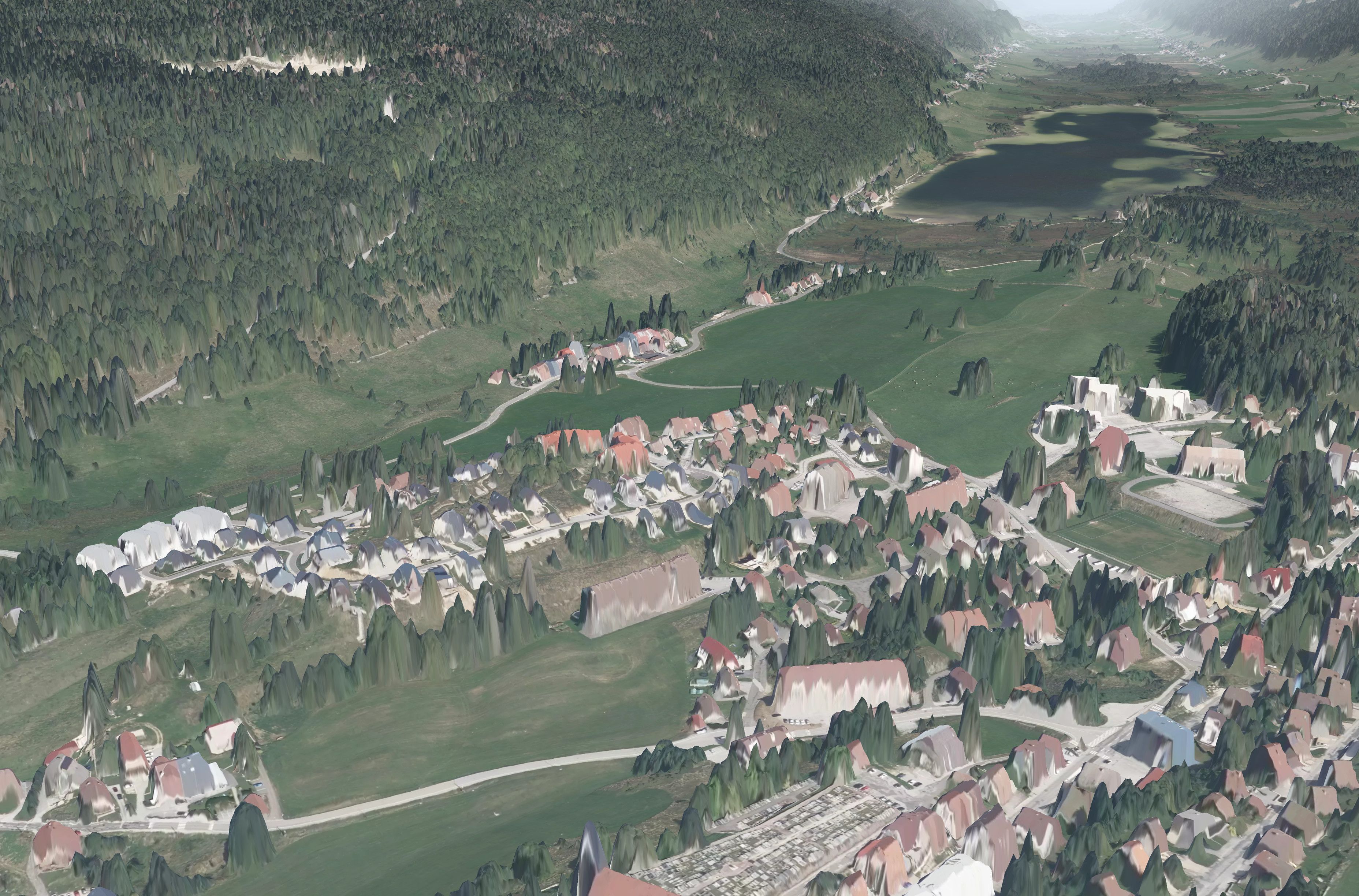
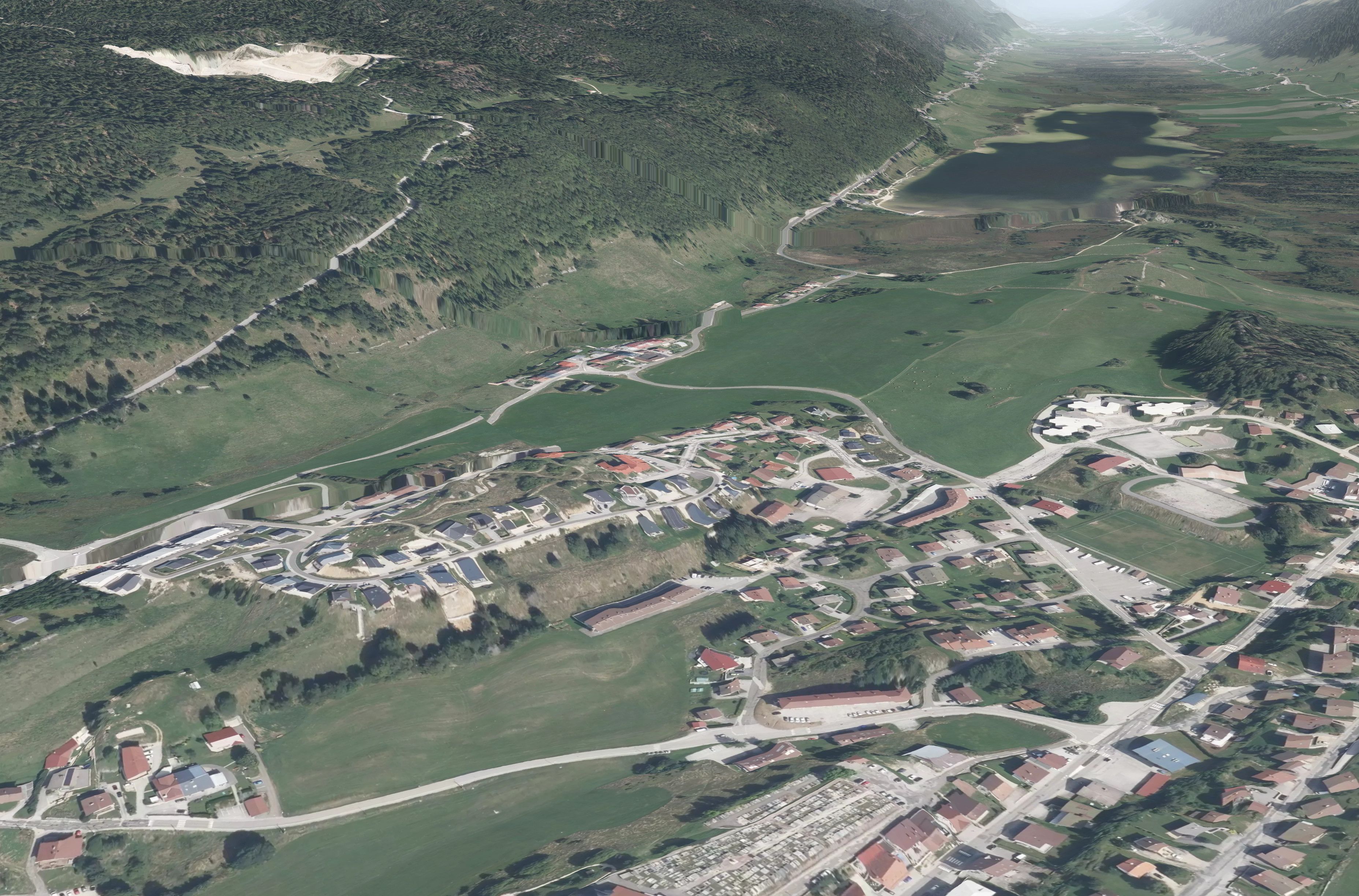
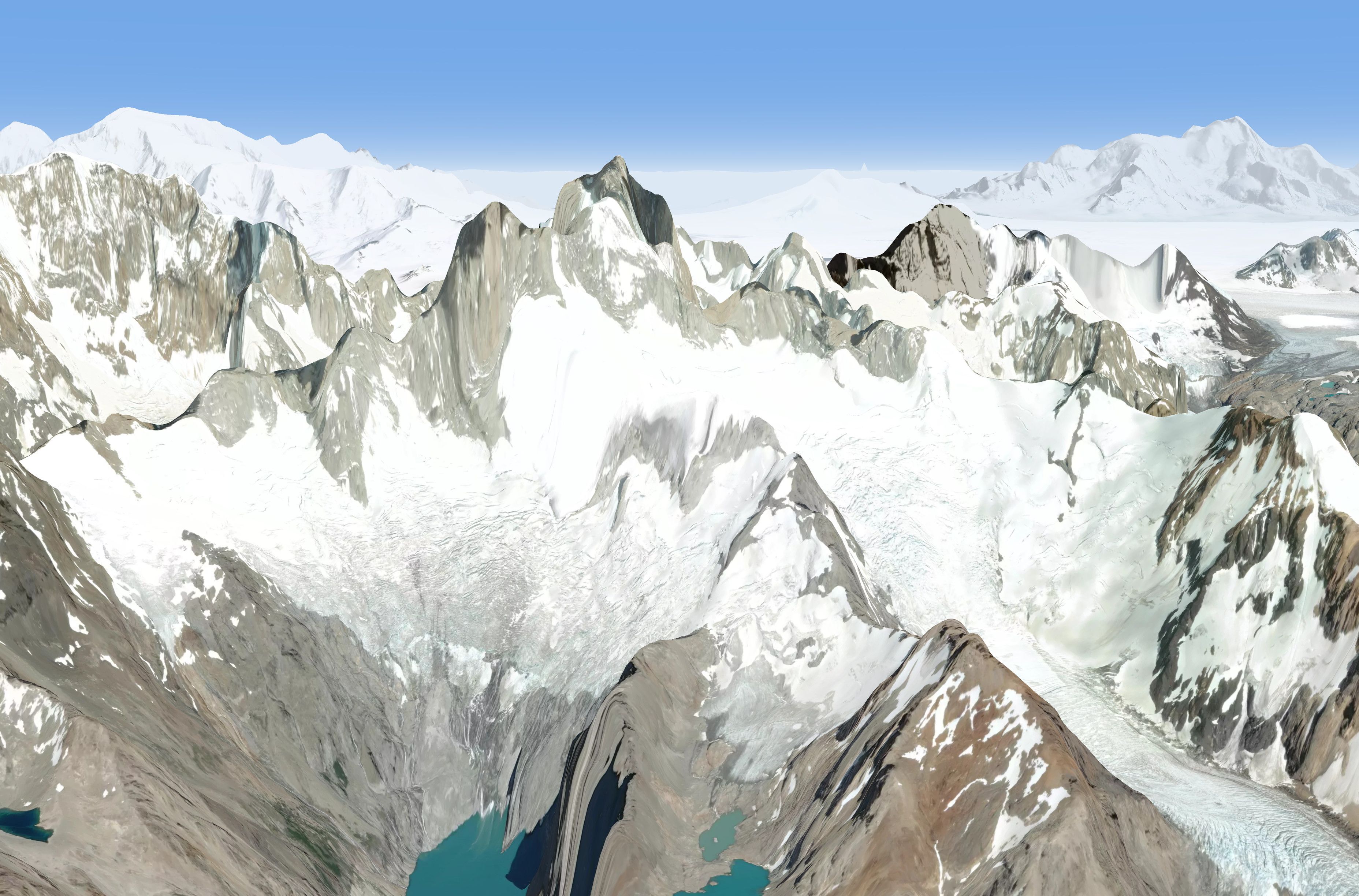
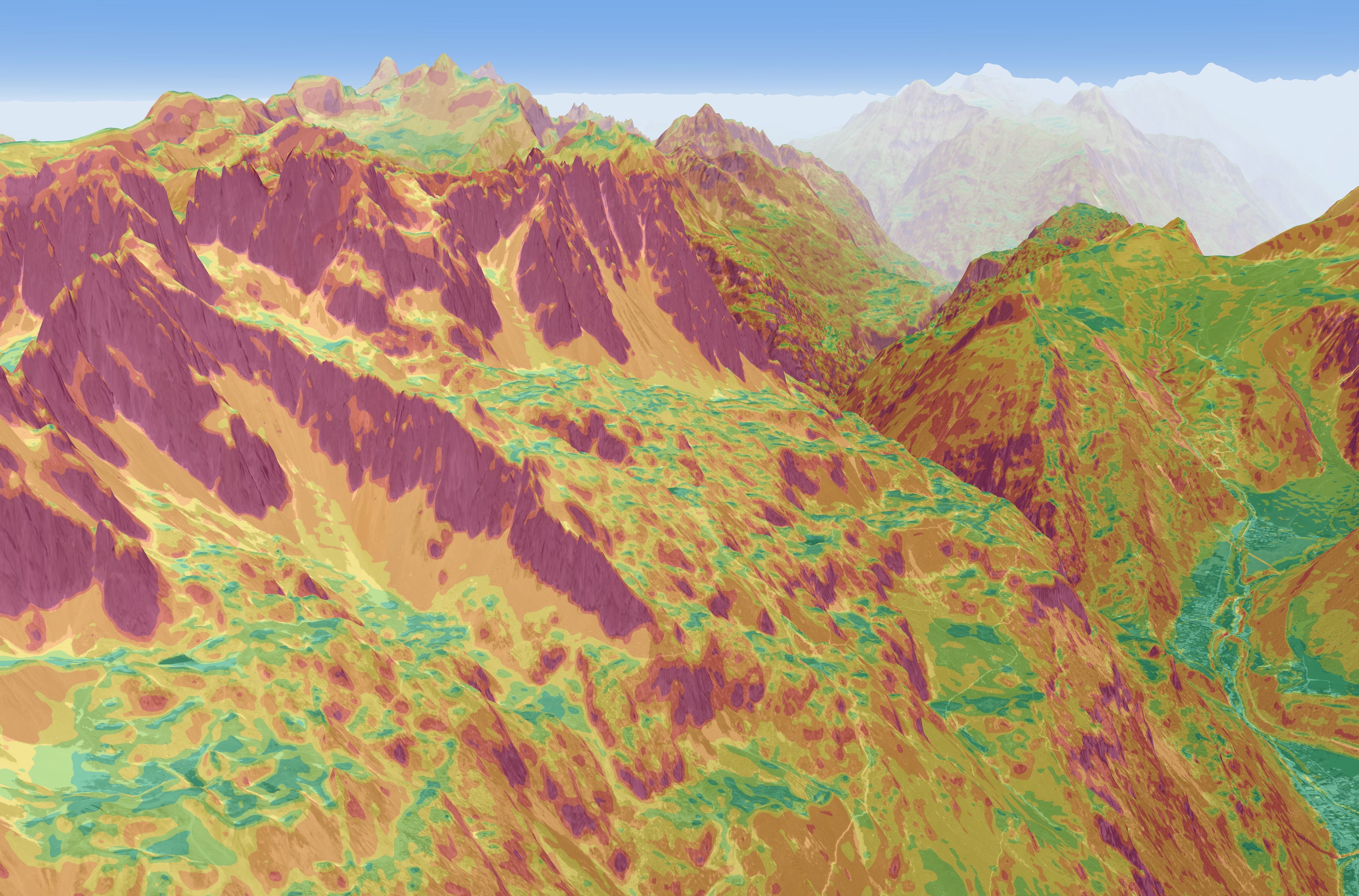
© Mapbox · © OpenStreetMap contributors · © Maxar
€14.90
7-day free trial included
Choose€70
7-day free trial included
Choose€119
7-day free trial included
ChoosePrices include VAT. 7-day free trial on your first subscription (payment method required), then renews automatically for the same duration; cancel anytime.
For special requests or to get in touch, email us or message us on Instagram!